Who is this project for?
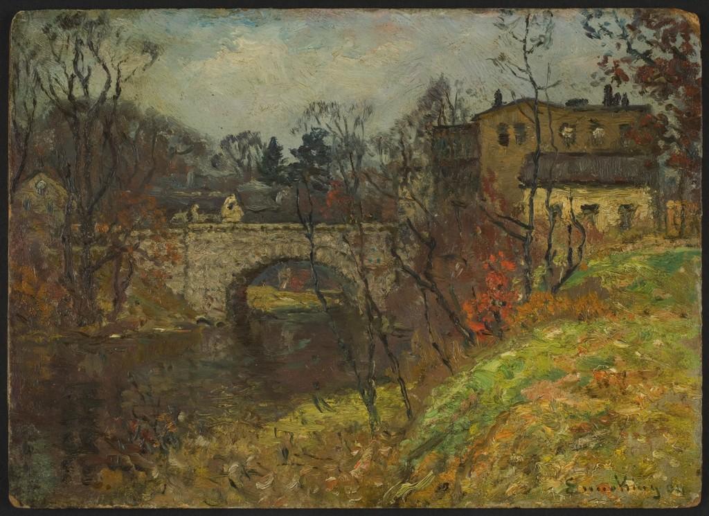
The Neponset has met many human needs and brought joy to peoples' lives throughout time. People even experience its waters as a source of artistic inspiration. We saw on this project's "About" page that action from local community members made a difference in the EPA's Superfund designation of the Neponset at Lower Mills. We hope that this project will serve an engaged local public, as well as a broader academic community. We hope that this environmental history of the Neponset orients the people who engage with the river, perhaps on a daily basis, to the river's many historical pasts, and the ways these pasts encapsulate larger trends in US history. In this crucial moment in which the Neponset is receiving legal attention from the federal government, why should a concerned public care about the health of the river? How should they understand the way its pasts have intertwined with our human histories? And which human communities should have a voice in the river's future?
Throughout human history, the Neponset has been a site for subsistence, commerce, transportation, waste-dumping, energy to power mills, and, now, recreation. We hope that a scholarly audience comes away with a sense of the centrality of waterways to the historical experience of different human groups through time, the major role that rivers played in powering the early industrial revolution and the development of American manufacturing, as well as the river's continued role as a site for public recreation. We envision this site being used as both a teaching resource and a research hub.

Museum of Fine Arts, Boston. | Public Domain: Wikimedia Commons.
Where can we go from here? The Neponset "Lab"
Much like the Neponset itself, this "A River in Time" project is not meant to be static, but dynamic and full of movement. We hope that student researchers in history and environmental studies will expand on the work begun here in a variety of ways:
- Mapping: the ArcGIS mapping project could be expanded upon in multiple respects. More sites can be added to intensify or expand the mapped region. Alternatively, more data can be collected for each site and associated with each datapoint mapped to give a more comprehensive picture of what has taken place as each site through time. There is also potential to undertake a more fine-grained and time-intensive mapping of environmental change over time by drawing on historical property records and deeds for a circumscribed region.
- Historical Narrative: the discussion of each site in the StoryMap section of this project can be expanded upon or new sites discussed. To facilitate student research, we are in the process of including links to the archives and research resources used to compile each narrative block.
- Environmental Data: potential for students to conduct projects involving water quality sampling and hydrology and to discuss this data in concert with the environmental history narrative of the Neponset.
- Public Engagement: students and public alike can use this site to engage in community discussions surrounding the EPA remediation, the Neponset River Watershed Association's call to remove industrial dams, and the Neponset River Greenway Council's work to extend the Greenway.
- What else? We want to hear your ideas!