Rights: All of the historical maps featured above are Public Domain
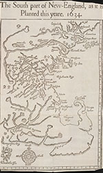
- William Wood. The south-part of New England, as it is planted this yeare, 1634 [map]. Printed by T. Cotes for I. Bellamie, 1634. From Beinecke Rare Books and Manuscript Library, Digital Collections. https://collections.library.yale.edu/catalog/2000023 (accessed May 10, 2022).
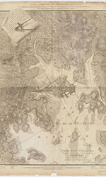
- Henry Pelham. A Plan of Boston in New England with its environs; including Milton, Dorchester, Roxbury, Brooklin, Cambridge, Medford, Charlestown, parts of Malden and Chelsea with the military works constructed in those places in the years 1775 and 1776 [map]. London: Published by Henry Pelham According to Act of Parliament, June 2, 1777. From Harvard Library, Map Collection. https://curiosity.lib.harvard.edu/scanned-maps/catalog/44-990093723370203941 (accessed May 10, 2022).
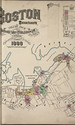
- Sanborn Map Company. Sanborn Fire Insurance Map from Boston, Suffolk County, Massachusetts, Volume 4. Sanborn Map Company, 1888. From the Library of Congress, Library of Congress Geography and Map Division. https://www.loc.gov/resource/g3764bm.g03693188804/?sp=2&r=0.453,0.517,0.494,0.187,0 (accessed May 10, 2022).
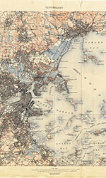
- H.M. Wilson, Massachusetts Topographical Survey Committee, U.S. Coast and Geodetic Survey, Frank Sutton, J.H. Wheat, A.C. Roberts, J.H. Jennings, J.W. Thom., Robert Muldrow, E.B. Clark, A.H. Bumstead, T.C. Basinger, C.L. Hoopes, and "various city, town, and park surveys." Boston and its Vicinity, 1898-1900. United States Geological Survey, 1903. From the University of Texas at Austen, Perry Castaneda Library Map Collection. https://maps.lib.utexas.edu/maps/topo/massachusetts/ (accessed May 10, 2022).


